|
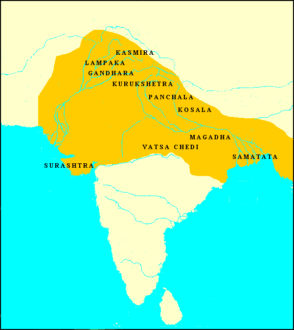
| India Map 1 | |
|
| India: Unification
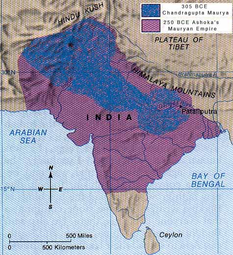
Later rulers continued to extend the Maurya boundaries southward. The last conquest of the third Maurya ruler Asoka was the southeastern kingdom of Kalinga:
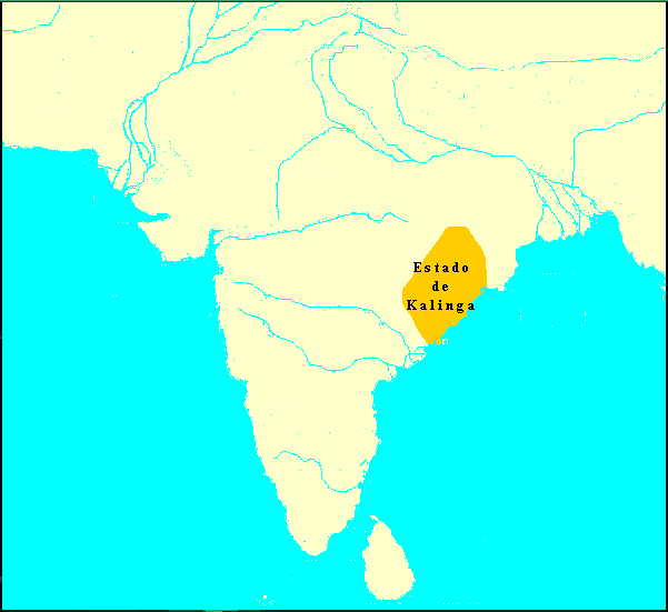
South of Kalinga were the Andhra tribes, which had been previously subjugated. The conquest of Kalinga then led to the following boundaries (here contrasted with the initial Maurya territory). Pataliputra was the Maurya capital:
Notice that Ceylon continued to lie outside the Maurya domain. It was, by Asoka's own account, his conquest of Kalinga that sickened him of war, and turned him toward the Dharma (Buddhism). His further efforts in the south were missionary, not military: sending his son to transmit Buddhist doctrine to Ceylon.
All lectures and abstracts posted on this site are Copyright © by their authors. 2 May 2002 / Contact The Project / Conferences Page |